Although the 15 or so glacier ski areas that are already open for winter 19-20 in the Alps are currently reporting a perfect sunny day on their slopes, big changes are afoot with a major low pressure system set to bring some big snowfalls to the Alps this week-end.
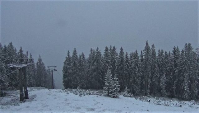
There was some snow down to lower elevations earlier this week, particularly in Austria at resorts like Filzmoos (pictured) but the snow coming from tomorrow looks much more significant.
Most resorts are expecting a dump of at least 50cm, followed by sub-zero temperatures down to about 1600m. Some may get considerably more. Along with providing a good top up top some fairly marginal cover at present at some of the already-open glacier areas this will hopefully help form the all-important base for many other areas.
Resorts like Val Thorens, scheduled to open in three weeks' time, need low temperatures for snowmaking as well as natural snowfall to ensure there's no postponement needed this year.
The snow may also provide the cover needed for three Swiss resorts that had hoped to open, at weekends at least in some cases, but have so far delayed due to inadequate snow cover: Andermatt, Laax and Verbier.