As there are some rather hyperbolic (or "ludicrously optimistic" as you may prefer) predictions floating around we thought we'd give our take on things; the forecast's looking good but it's not indicating a new Ice Age at this time...
Essentially, the High Pressure system that has dominated The Alps for the past month is (as we write this) yielding to cold from the East and wet wind from the West.
This will bring snow right across the The Alps and Pyrenees, with much colder temperatures in play by early next week. Current forecasts split this into several major snowfalls interspersed with lighter falls extending through the next two weeks.
Usual caveats apply - the forecasts will change significantly over that timescale, although the next few days should be fairly accurate now.
This is what the models are indicating this morning...
Later today (Thursday - New Year's Eve), light snows (a few cm, maybe more in a few locations) will start to reach areas mainly to the North and West of The Alps, with snow falling to around 1200m.
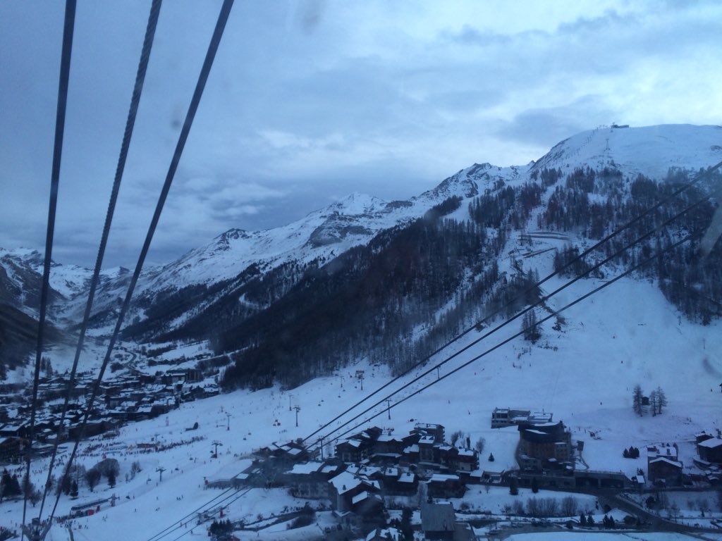
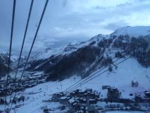
"Clouds rolling in" - picture from @tdcski - The Development Centre.
New Year's Day will be uneventful, albeit with a few scattered and light snows, although it's going to feel very different to the blue skies of December!
Saturday sees the first significant snowfalls - more widespread than today but again with the largest falls North and West. Chamonix and Zermatt, for example, should see 20-25cm by the end of the day, with falls of about half that further South and East.
Transfer Day Disruption
We don't expect this (at this stage) to be as bad as the "snowmageddon" of December 27th last year, but...
Yes, the snow's coming on a Saturday again... and it will catch the unprepared few by surprise as it always does. So if you are traveling on Saturday, then do keep a close eye on the forecast for your journey and maybe get away early if you're leaving one of the affected resorts that day. And if you're on your way up, have your chains to hand - they may be needed to reach some resorts by Saturday afternoon.
Temperatures continue to fall, and snow continues to come, into next week and the week following.
A major snowfall/storm, or even two, is on the cards for the middle of next week (mainly North and West Alps again) with more big snowfalls following late next weekend.
Overall, North and West should see as much as 2 metres of fresh snow over the next two weeks, with about half that to East and South. The detail will change, and be complicated by strong winds accompanying some snowfall, but it does look good right now.
A final note of caution
Off-piste, just about everywhere, is either old and transformed snow or it's bare rock and grass... conditions will vary wildly with location but the larger falls will push the avalanche risk right up - so do take local advice before leaving marked runs, and look out for those rocks now lurking under a few inches of powder. If it was us, we'd be sitting it out for a few days and letting things settle before diving in... really.