Messages posted by : J2SkiNews
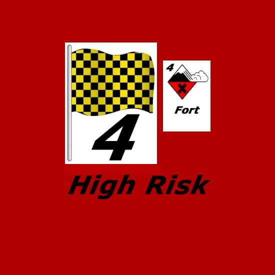
Verbier ski resort in Switzerland has issued a statement today warning of very high avalanche danger on its slopes, following the recent heavy snowfall in the region. Although the snowfall was very widespread, ski areas in the Swiss Valais region actually posted the biggest accumulations in the Alps, with up to 107cm of snow reported in the past 72 hours. Verbier itself, famous for its off piste skiing – although that has been limited until now by little fresh now since Christmas - reported 50cm (20 inches)
Across Switzerland the country's avalanche danger agency has the level currently at 3, almost everywhere, on the scale to 5, "considerable." In the French Alps the level is '4 – High' in places. Warmer weather is expected over the weekend with further precipitation expected to fall as rain at low elevations, more snow higher up. |
|
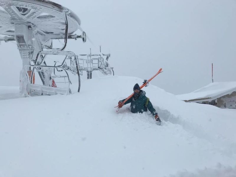
48 hours in to the snow storm currently hitting most of the Alps and several resorts in the Swiss Valais region have posted 85cm (nearly three feet) of snow falling so far, with a larger swathe of resorts across France, Italy and Switzerland reaching 50cm. Lötschental is the area reporting 85cm of snow falling in the last 48 hours with ski areas on the Swiss side of the huge Portes du Soleil region which straddles the French border posting 75cm accumulations. Of the major destination resorts La Rosiere on the French/Italian border has posted the biggest falls so far with 60cm (two feet) of fresh snow. A number of other French areas including Valmorel, St Gervais and Val Thorens (pictured above this morning) have reported more than 50cm (20 inches) of snowfall. Although the snowfall has been heaviest in the western Alps it is also reported to be snowing hard further east in parts of Austria. The heavy snowfall and strong winds have led a large number of resorts to either completely or partially close at present until the storm passes on, later today or tomorrow for most. Avalanche danger levels have also moved up in most areas from very low levels 1 or 2 on the scale to 5 for most of this year so far, to level 3 "considerable" or level 4 "high". Sunny, dry weather is forecast for more parts of the region from Thursday with unseasonably warm weather likely for the start of February at the weekend. |
|
https://www.j2ski.com/snow_forecast/France/Chatel_snow.html |
|
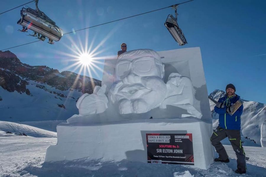
British snow sculptors Justin Scott and Martin Sharp have created a likeness of Sir Elton John on the slopes of Ischgl in the Austrian Tirol. The two Yorkshiremen are frequent visitors to Ischgl to take part in the resort's annual Shapes in White competition – in fact Justin met his wife Jasmina there – and with this year's theme being 25 years of Top Of The Mountain rock concerts, it was the perfect opportunity to create a homage to Sir Elton John, who has twice performed open air gigs in Ischgl. It was the second time that tree surgeon and gardener Justin, from Driffield, had modelled Elton in snow – the first was in January 2003.
Ten pairs of sculptors from across Europe competed in the 27th annual Shapes in White, with Italians Ivan Holzknecht and Armin Rifesser from Val Gardena coming top with their creation 'Guitar and Saxophone'. The sculptures will remain on the slopes to be admired by skiers and boarders until the Spring thaw. |
|
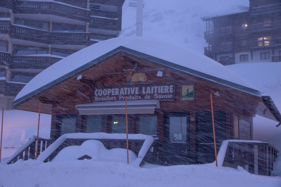
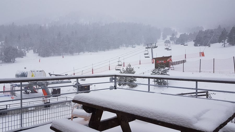
It appears that after a mostly dry January, the high pressure system that's been hanging over much of Western Europe since Christmas is finally on the move and more unsettled, frequently snowy conditions are moving in. The Pyrenees saw big snowfalls last week and there have been smaller accumulations there over the past few days, but the Alps now look set to see the most substantial snowfalls for nearly two months over the coming week too. Light snow showers with up to 20cm of snowfall (although more commonly 5-10cm) have already been reported as far north and east as the Austrian Arlberg although the heaviest falls in the Alps so far have been in the southern French Alps to the west. Areches Beaufort there, which has just had 5cm so far, is pictured above. But the heaviest snowfall is forecast for Tuesday/Wednesday when some Alpine resorts are expected to see 40-50cm of snowfall. Some strong winds are also forecast. It's possible that some resorts may see as much as 90cm (three feet) of snow over the next 72 hours with neighbouring Val d'Isere/Tignes/Bonneval currently expected to see some of the heaviest snowfall. Although it is still some way off it seems the arrival of fresh snow may become a trend, again, with a second wave of heavy snow currently expected at the weekend – meaning some areas may get a metre of snow in total by this time next week. |
|
Snowfalls in the Pyrenees this week have exceeded even the most optimistic expectations with one resort in the French Pyrenees reporting up to 1.8 metres (six feet) of snowfall on its upper slopes with more forecast. Ski star Wadeck Gorak is pictured today at Les Angles in the French Pyrenees which has been closed due to the heavy snowfall and, at times, storm force winds, but is now working to re-open. Forecasts had indicated up to 1.2 metres of snowfall by the weekend at some ski areas in the Pyrenees by the weekend but the heaviest snowfall was expected on the Spanish side of the mountains. There has been heavy snowfall for Spain and Andorra too with the biggest region, Grandvalira in Andorra, reporting 40cm in 24 hours, and some Spanish areas including Masella much more, just not so much as in France. The snowfalls are the first really big snnowfalls in Europe for around six weeks since big snowfalls in the Piedmont area of Italy in the first half of December. 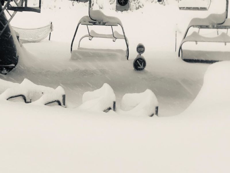 |
|
Very heavy snowfall is being forecast for ski areas in the Pyrenees over the next few days. Unusually the numbers – as much as 115cm (nearly four feet) over 48 hours and as much as 85cm (nearly three feet) in 24 hours are being forecast the day before the snow I due to arrive – rather than a week or more away when forecasting models do sometimes give big number possibility extremes, before these diminishing as the forecast day gets nearer. The biggest snowfalls are forecast on the Spanish side of the mountains with Vallter set to get the biggest amounts others 60-80cm. In Andorra 40-90cm accumulations are likely. On the French side the predictions are for up to 70cm at les Angles. Most of the resorts in the region currently only have 20-50cm of snow lying after a fairly dry winter to date so the snow should transform conditions. The snowfall – which has already started falling with some areas reporting 10-30cm overnight – is being accompanied by strong winds of typically 40-60kph. Formigueres in the French Pyrenees is pictured above this morning. A number of resorts in the region, including Vallter, are closed today as a precautionary measure whilst they see how the snowfall plays out in reality. In France Cambre d'Aze, another area expecting big falls, is currently closed until lunchtime tomorrow (Wednesday). There have not been any snowfalls on this scale in Europe this winter so far, if the snow does arrive as predicted. Although the amounts in the Pyrenees are not expected to be as big, last winter parts of Austria and Germany saw massive snowfalls leading to ski area being evacuated due to avalanche danger and the winter before parts of the French, Italian and Swiss Alps saw skiers ion some resorts like Val d'Isere and Val Thorens advised to stay indoors due to snow danger and Zermatt cut off for a time. This winter has so far been very different in those areas. |
|
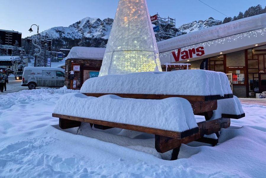
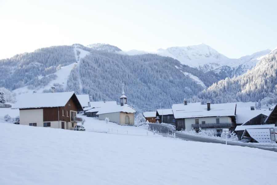
There's been fresh snowfall across large parts of the Alps overnight and temperatures have dropped to well below freezing in many areas. For many areas it is the first snowfall of the New Year and new decade, having enjoyed mostly dry and sunny weather for four weeks, since just before Christmas. The largest reported falls to date have been in Switzerland with Adelboden claiming the largest total - 40cm / 16 inches overnight. In France Alpe d'Huez and the Portes du Soleil region ski areas have reported 30cm (a foot) of snow. However for many areas the snowfall so far has not been as much as forecast earlier in the week and they've had just a few centimetres. Today is also the day when the biggest race in Switzerland takes place at Wengen, the Lauberhorn, celebrating its 90th staging. The course has been shortened because of the fresh snow there. Vars in France is pictured above this morning. |
|